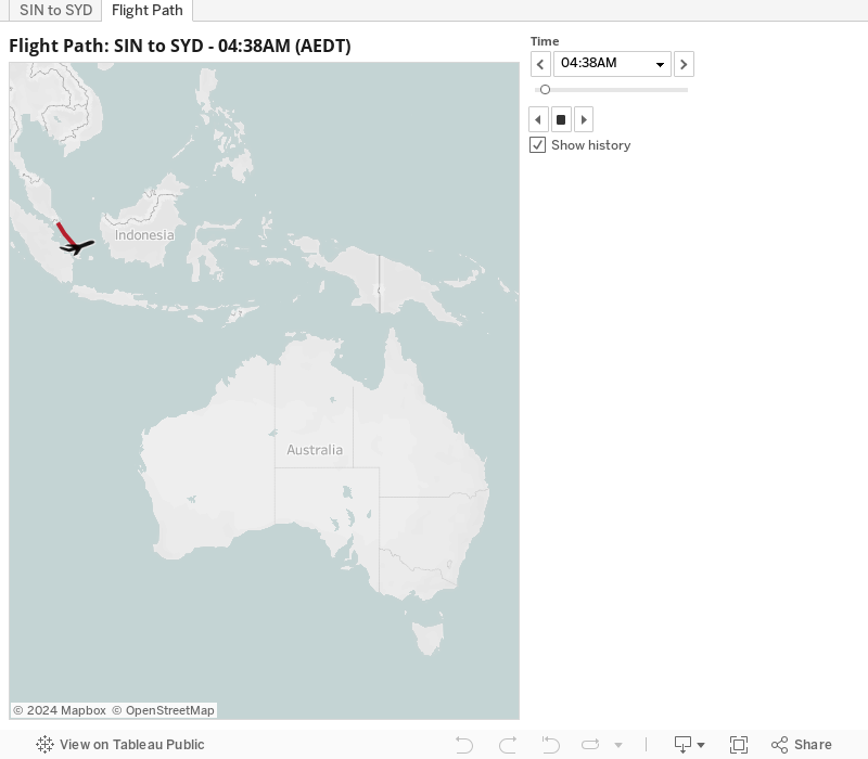
The good news is that you can find data on virtually any flight on www.flightradar24.com. It contains latitude, longitude and time and it can be exported into csv format. Depending on what area the plane is, altitude and speed are also available.
Once the data is ready the next step is to load it into Tableau.